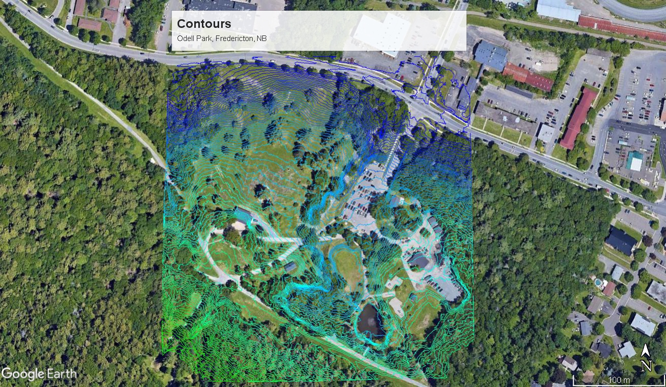
Contour maps are an extremely useful tool in designing a permaculture property, as they can help you determine where to place water capturing structures such as swales or ponds, potential frost pocket locations, and ideal locations for access or structures. By showing lines of constant elevation, contour maps can represent the changes in elevation of a landscape with a 2D image. Using high resolution LiDAR data showing the topography of New Brunswick, we can convert this raw LiDAR data into a contour map of your property.
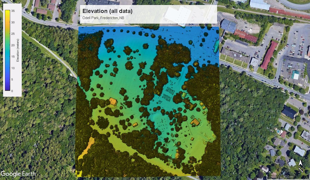
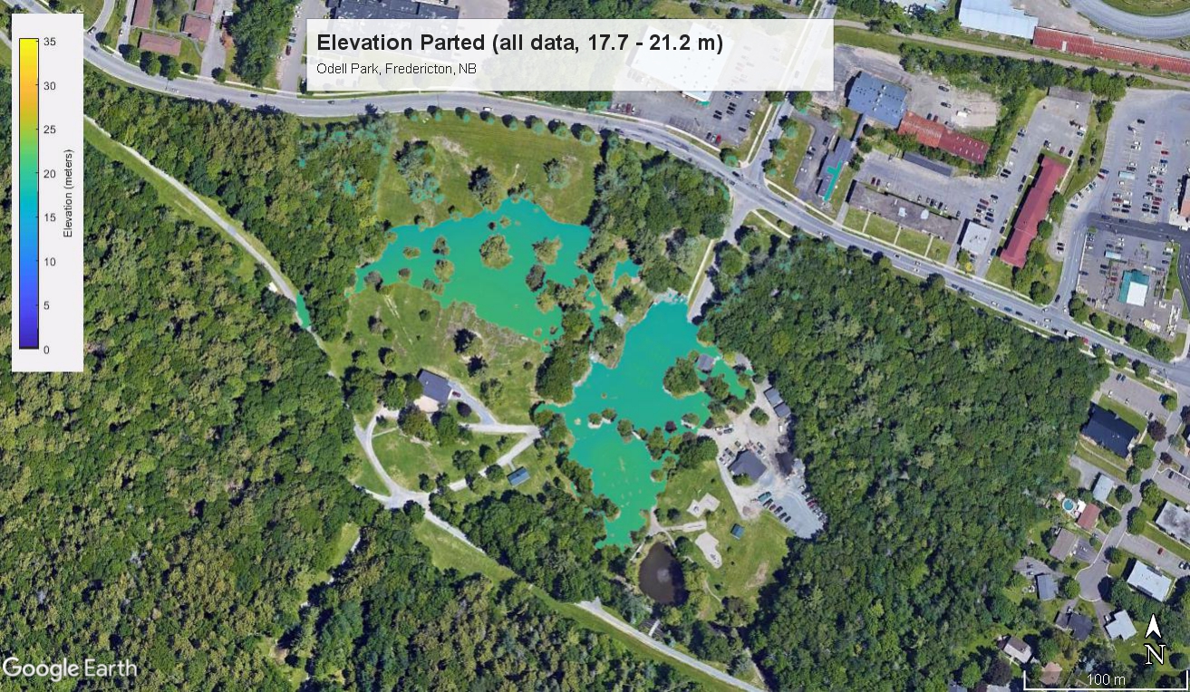
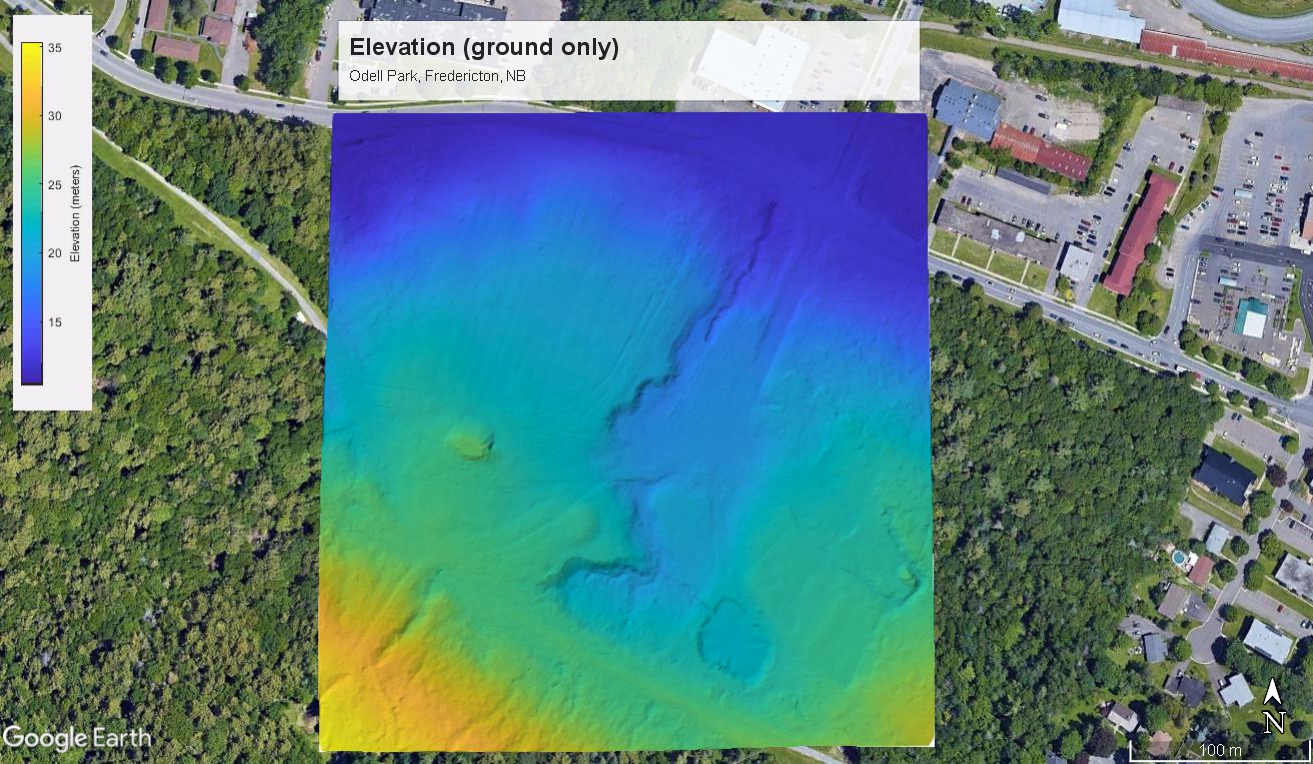
We provide 2 mapping packages to better suit your needs. If you only need the contour map for your project, we can provide a KMZ file (for viewing in the free downloadable Google Earth Pro) through our Basic Mapping Package. But if you need elevation, aspect, slope, flow, drainage, and watershed data, we provide a Complete Mapping Package as detailed below.
| Features | Basic Mapping Package | Complete Mapping Package |
|---|---|---|
| Contour Map | ✔ | ✔ |
| Hillshade | ✔ | ✔ |
| Elevation & Parted Elevation | ✔ | |
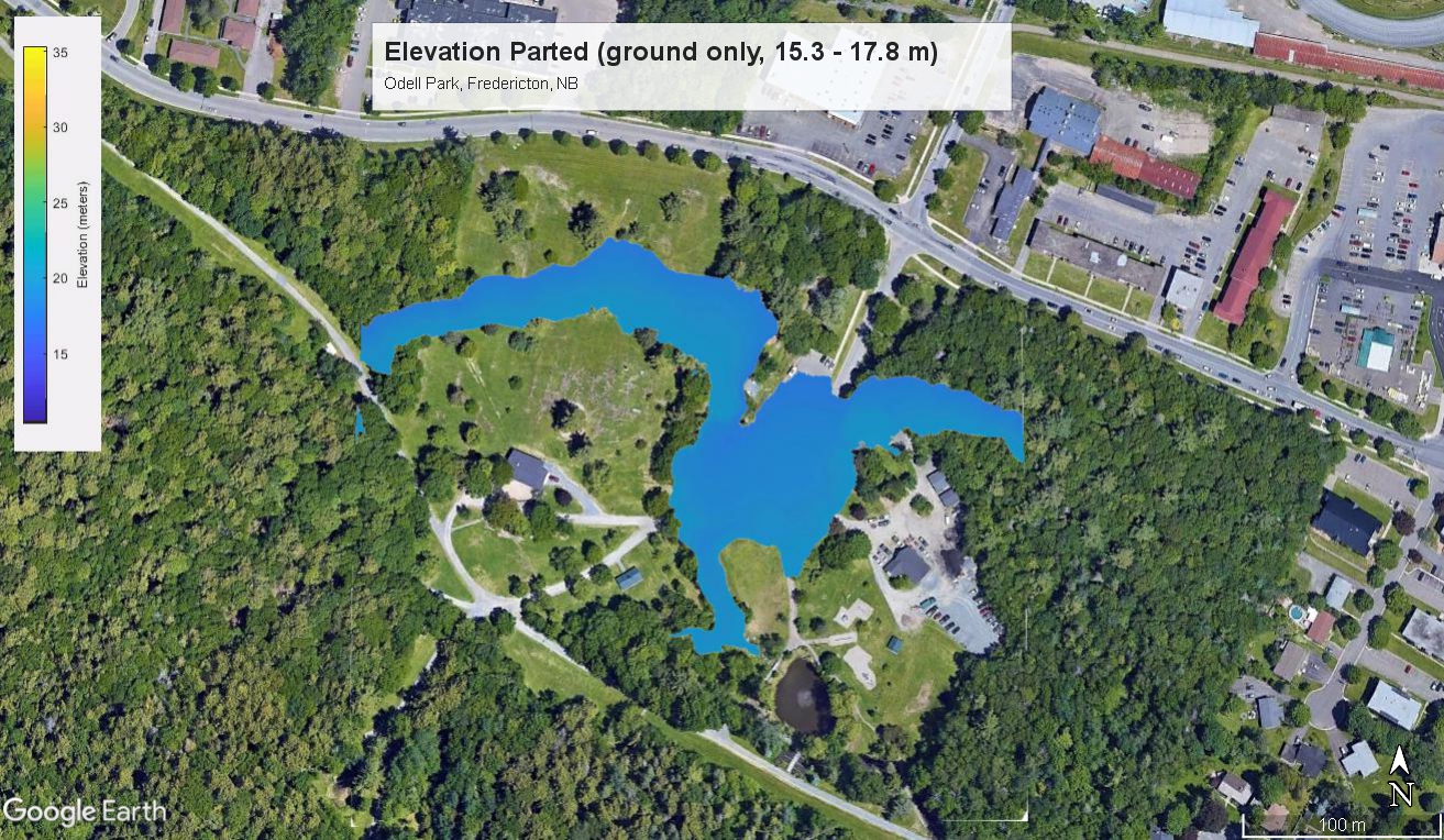
| Elevation & Parted Elevation (ground only) | ✔ | |
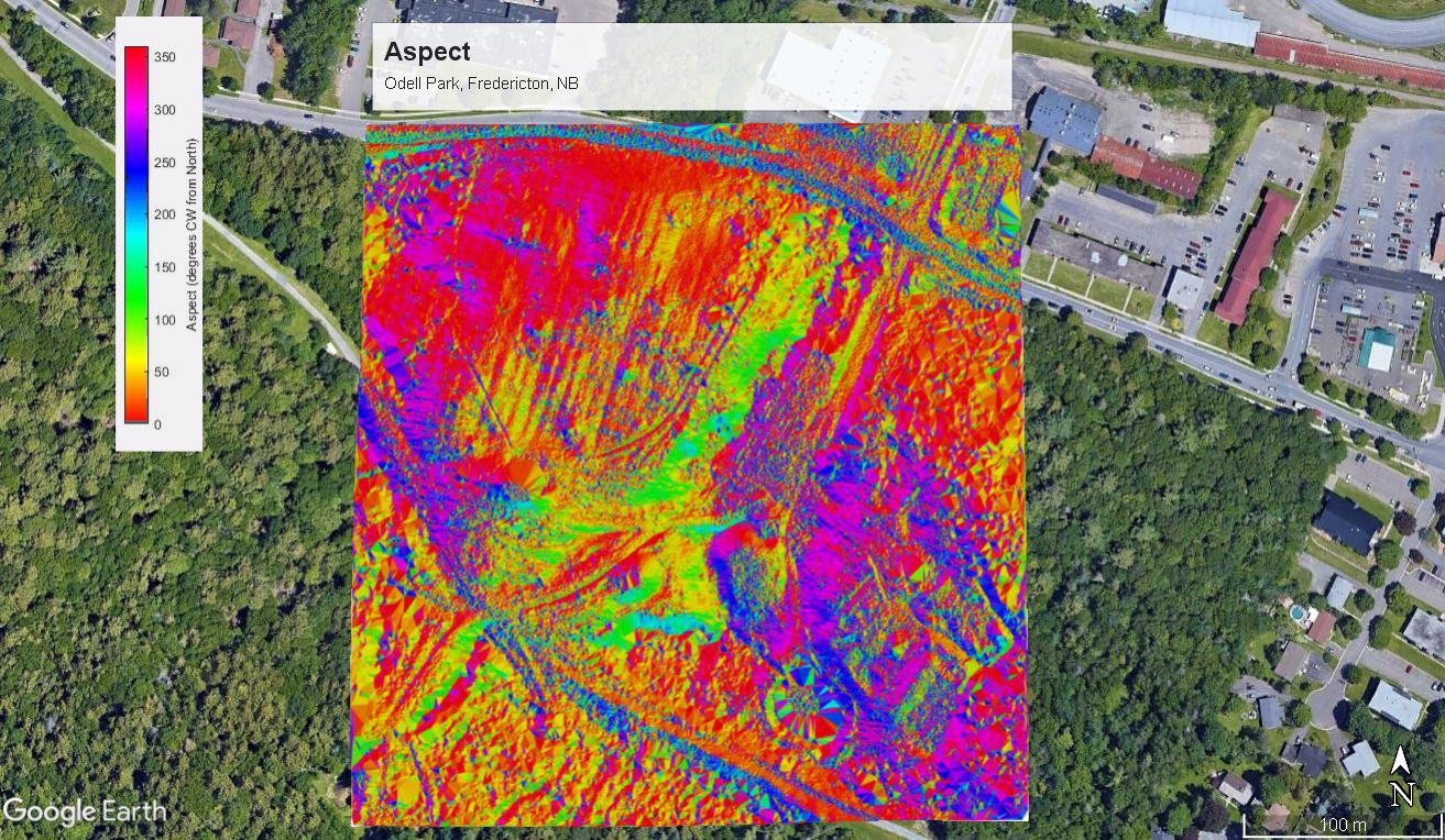
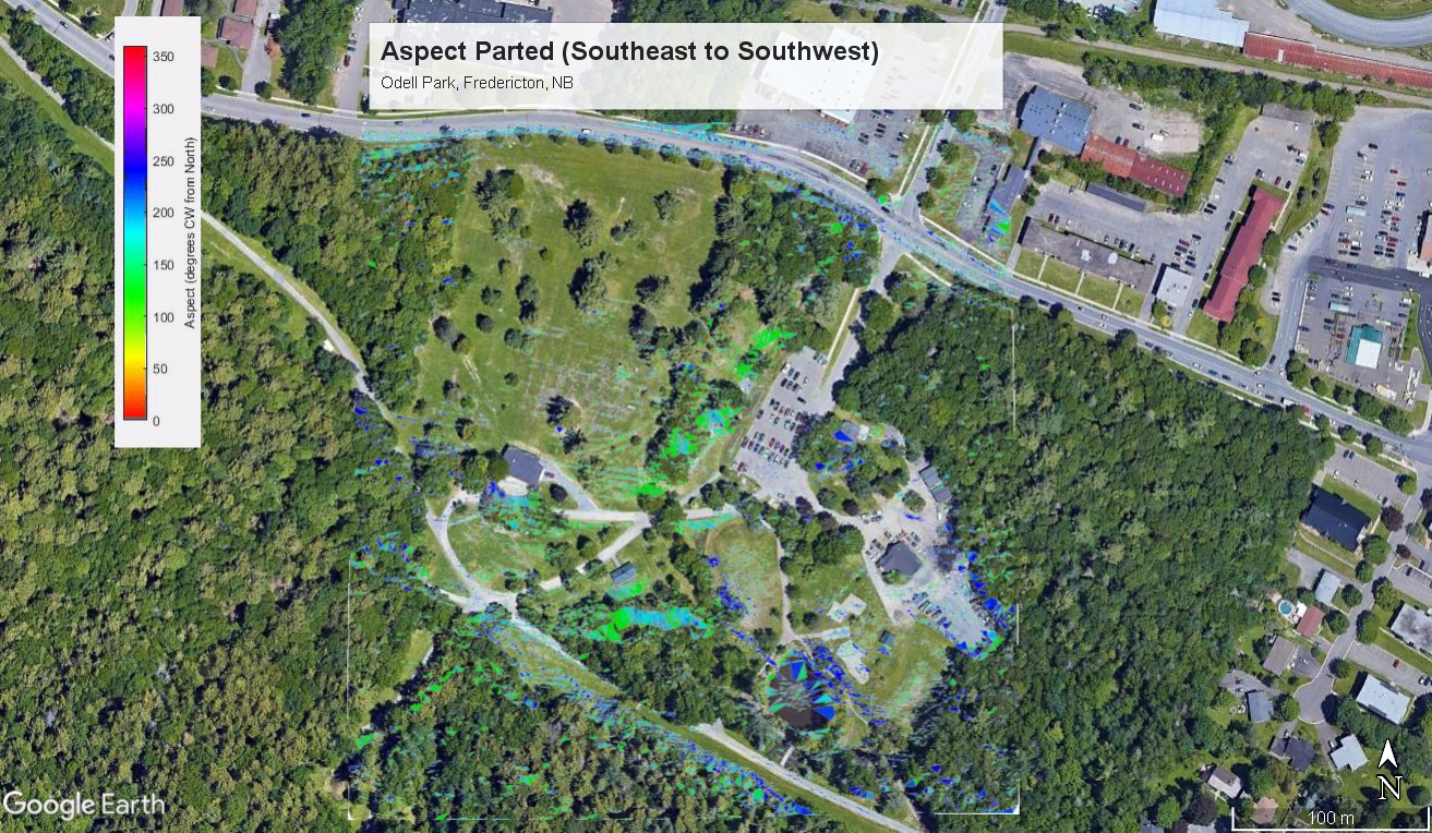
| Aspect & Parted Aspect | ✔ | |
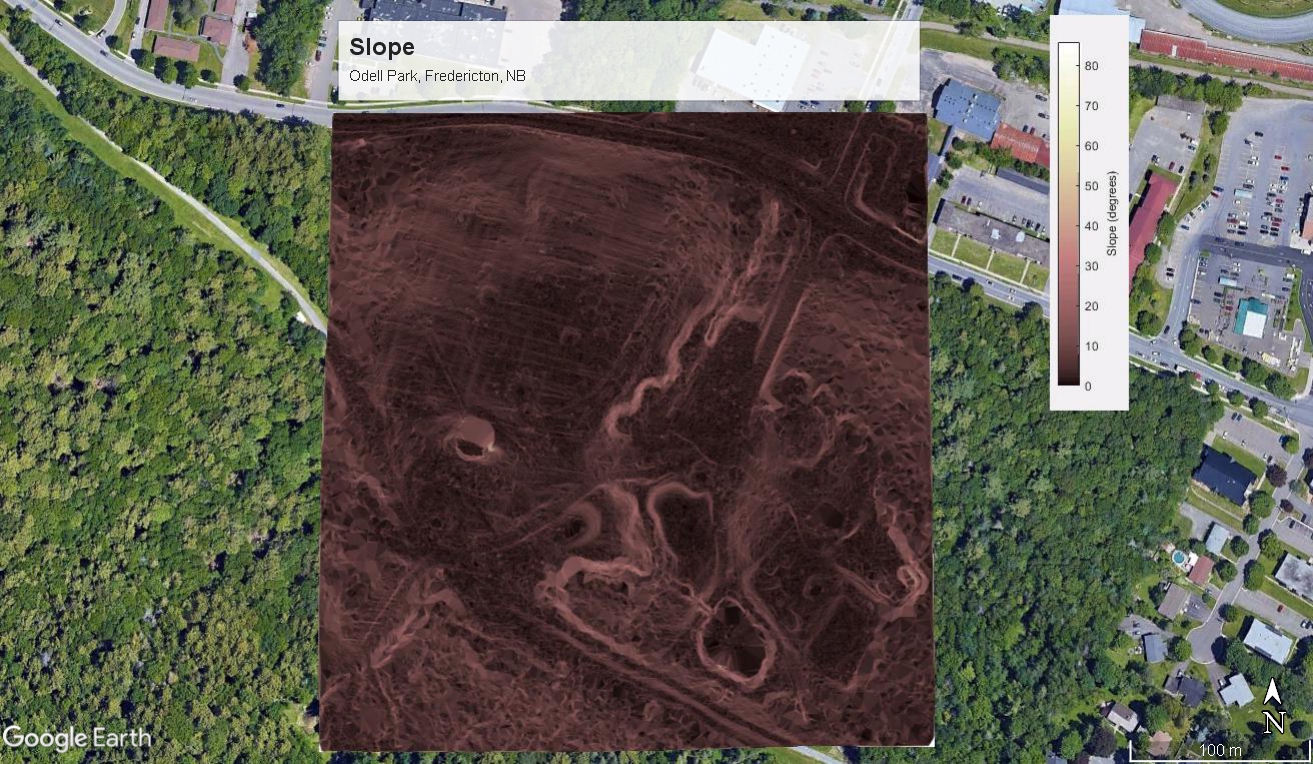
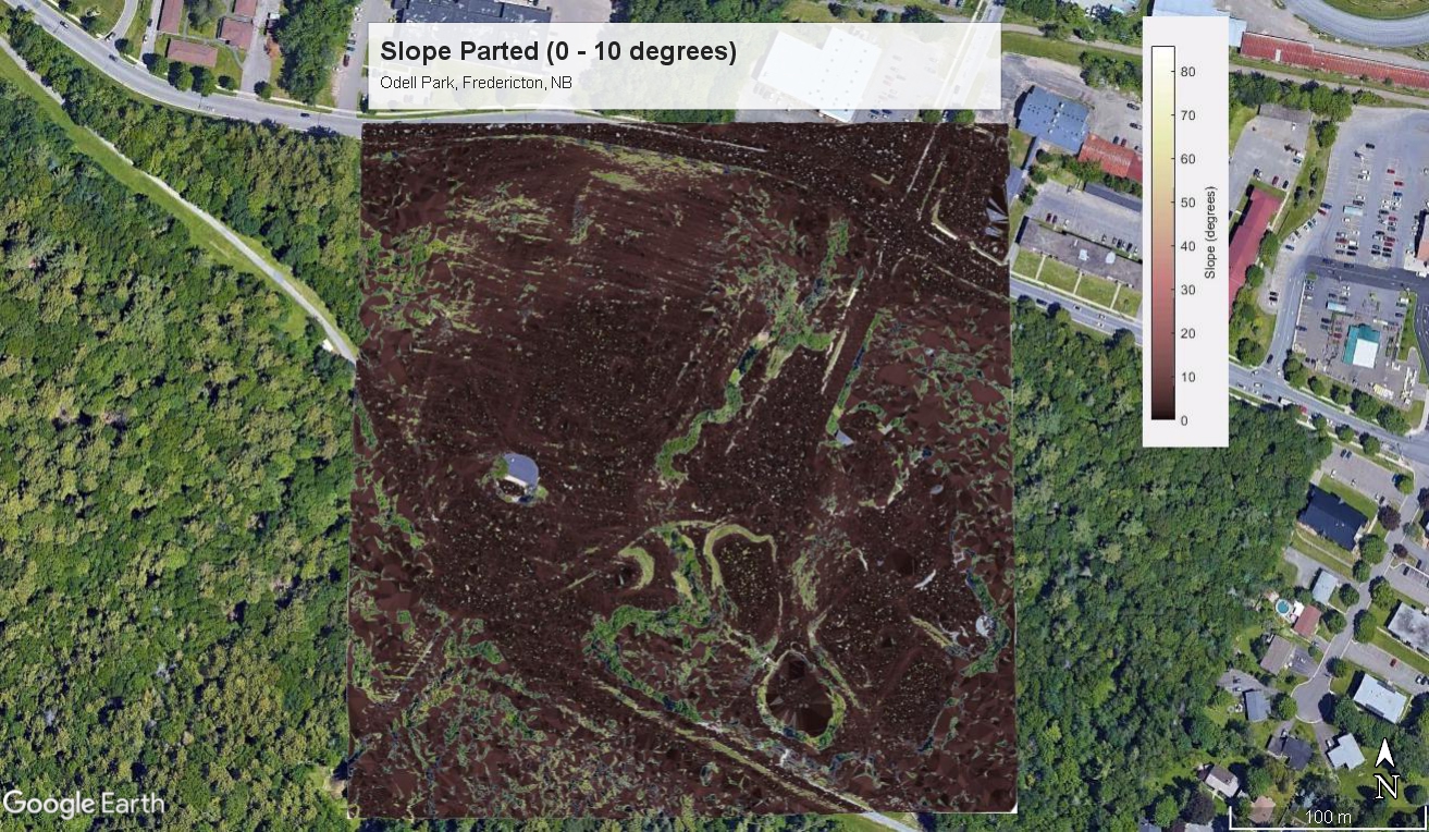
| Slope & Parted Slope | ✔ | |
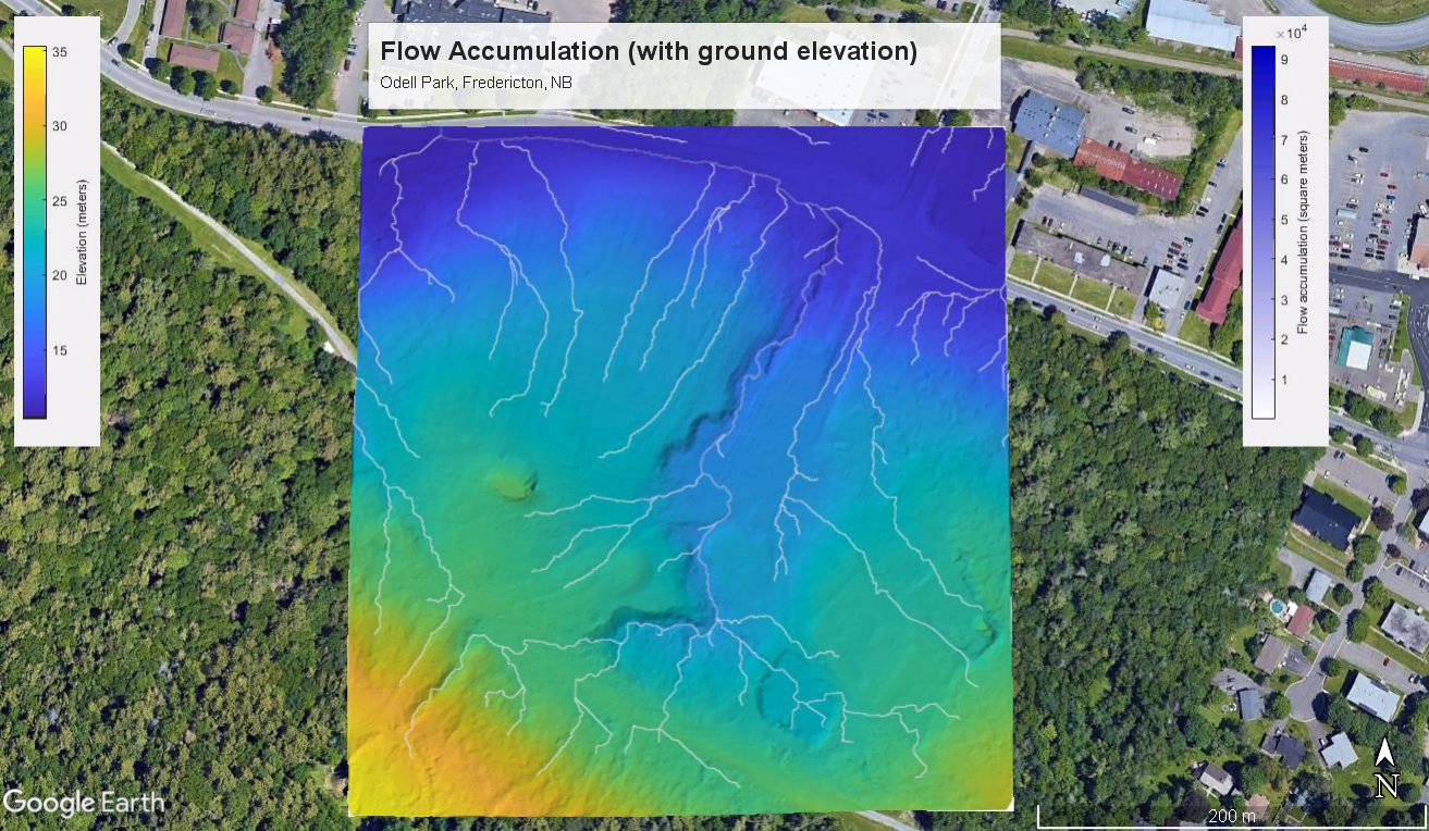
| Flow Accumulation | ✔ | |
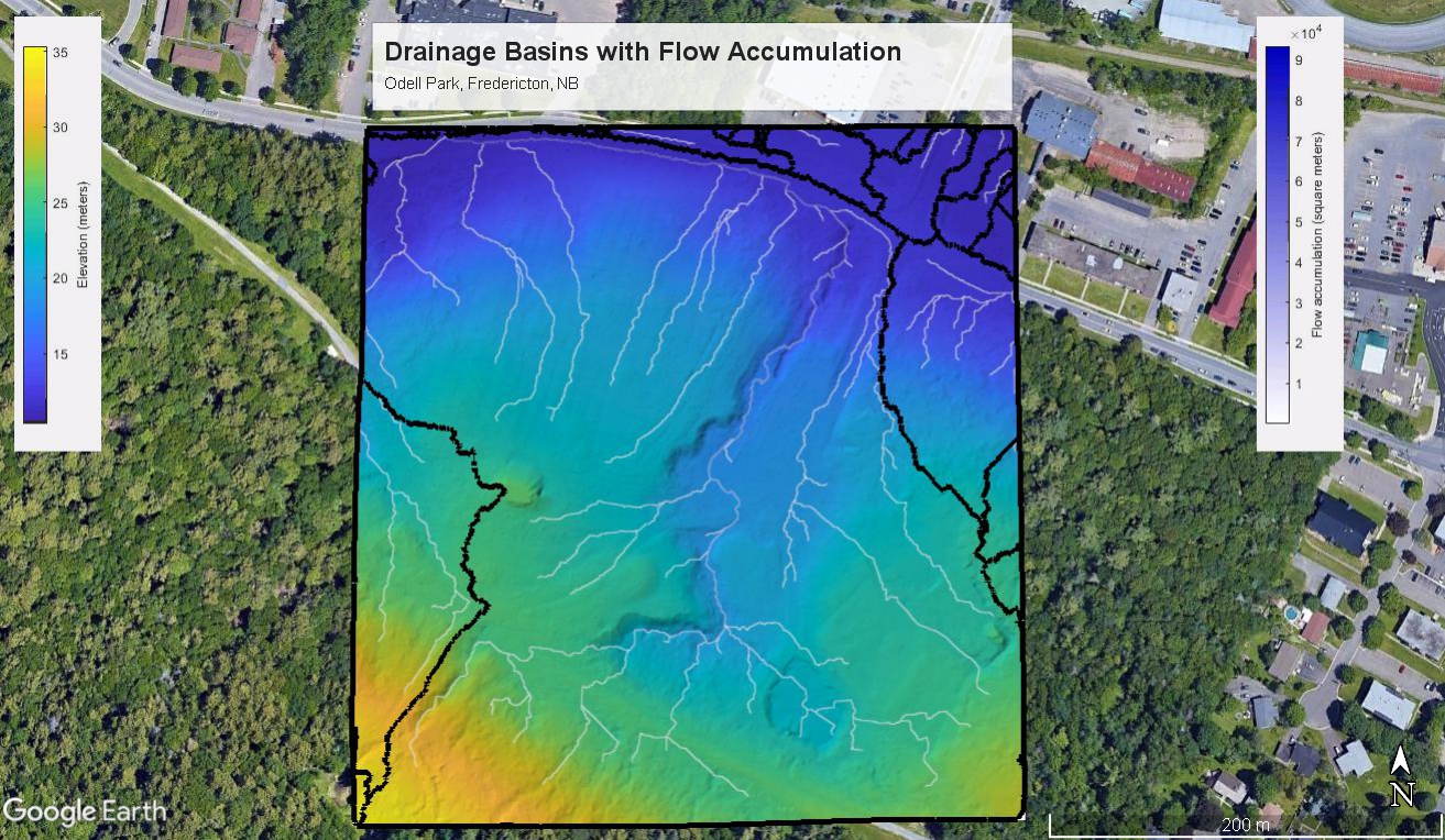
| Drainage Basins | ✔ | |
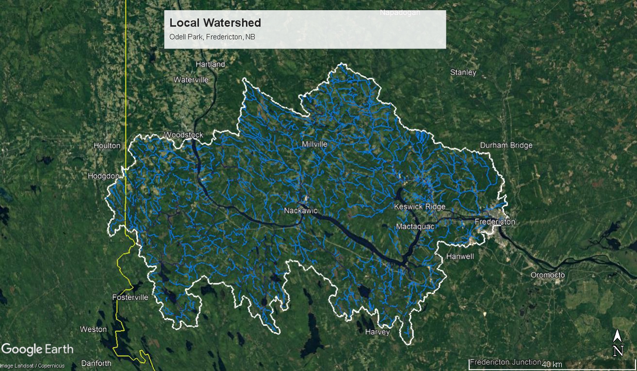
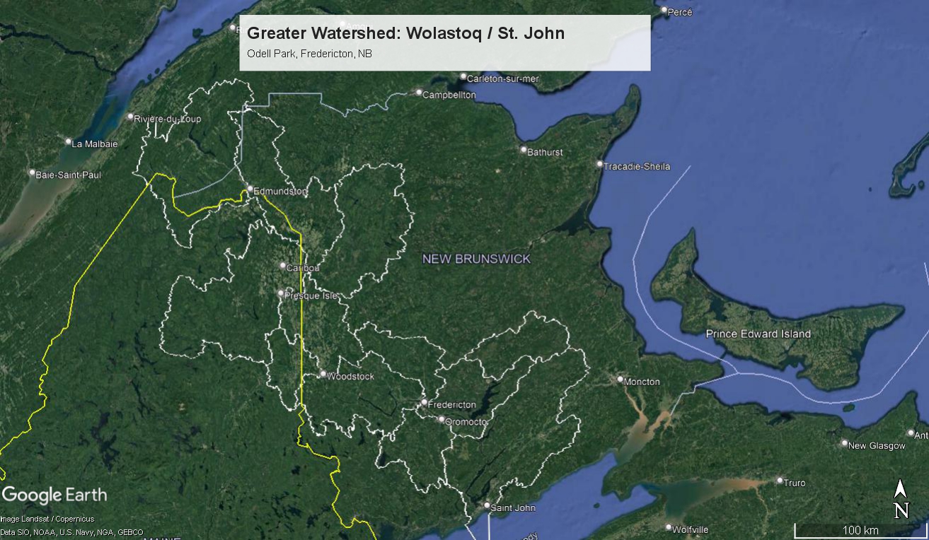
| Local & Greater Watersheds | ✔ | |
| Price | $60 + tax | $200 + tax |
To get started, just email us the address of the property and which mapping package you’d like!
References
geonb.snb.ca/li/
open.canada.ca/data/en/dataset/a4b190fe-e090-4e6d-881e-b87956c07977
Schwanghart, W., and D. Scherler. “Short Communication: TopoToolbox 2 – MATLAB-Based Software for Topographic Analysis and Modeling in Earth Surface Sciences.” Earth Surface Dynamics, vol. 2, no. 1, Copernicus GmbH, Jan. 2014, pp. 1–7, doi:10.5194/esurf-2-1-2014.
